Knowing where you are is a question of safety while at sea.
For thousands of years observing changes in nature, such as variations in sea conditions, was the only way to safely explore offshore regions.
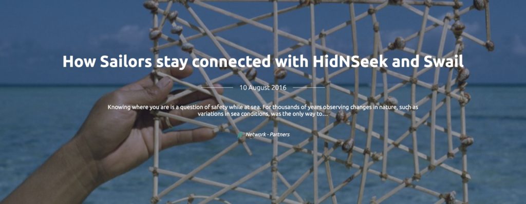
Polynesian islands are believed to have been explored around 4000 years ago. Amazingly, this was done without GPS (Global Positioning System) and only using stick maps that were designed from prevailing ocean swells.
In the 18th century, the invention of the clock and the ability to measure time accurately allowed mariners to get a good understanding of where they were located in the world by using a calculation of their longitude. Following on from this, with the turn of the 21st century and creation of GPS, the GPS soon became the best friend of navigators all around the world.
Satellite communication enabled for years both professional and competitive sailors to share their position; and now almost all offshore races provide GPS trackers to their competitors.
“This is the only way to connect with our loved ones”
commented a member of a popular social network, referencing a service shortage during the last Sydney Hobart, when one member of her family sailed straight into the treacherous Bass Straight.
However the satellite trackers, with their high-cost satellite fees, are too expensive for the average boater, and are both limited in coverage and power efficiency when they are based on the GSM technology. The use of the sigfox network for these trackers made it easier, and accessible to everybody.
On June 30th, Yann and Marie Christine left Gibraltar with their sailing boat, the Logoden, to explore the Spanish coasts for the months leading up to October. In amongst the 120 kgs of luggage required for the 4 months cruise, the addition of a tiny 48g, HidnSeek tracker relying on Sigfox network and linked to the Swail.io website was added at the last minute.
This allowed the Logoden’s followers to see the boat’s position on beautiful intricate maps with detailed pictures1 of the boat surroundings, enabling them to plan their next trip/cruise on their friend’s boat virtually, from within the office!
Whilst at anchor, the retired couple can happily leave their boat to go hiking, using the HidnSeek’s geofencing capabilities to warn them, via their smartphone, if any problems occur such as anchor slipping.
Swail is an amazing and beautiful way to follow your friends’ boats as well as renowned boats like famous racing boats or sea oriented organisations, through the use of Sigfox, AIS or Iridium.
Sailing along the coasts is where 95% of the navigation for casual sailors occurs, enabling the use of a Sigfox based tracker to allow for a hassle-free boat location transmissions.
While Logoden is equipped with a HidnSeek ST1A tracker, another version, the Digitraq PV with solar panels allows for endless sailing with its integrated solar panel.
